| In support of my webspace rental fees please donate generously at Patreon | Thank your for visiting.
If you enjoy this site please make a donation. |
|
| In support of my webspace rental fees please donate generously at Patreon | Thank your for visiting.
If you enjoy this site please make a donation. |
|

 & The Golden Mile |
 Lillooet Sites & Stories |
 Fountain & Fountain Canyon |
 Seton Portage, Shalalth & The Lakes |
 Canyonlands |
 Pacific Great Eastern Railway (BCR) |
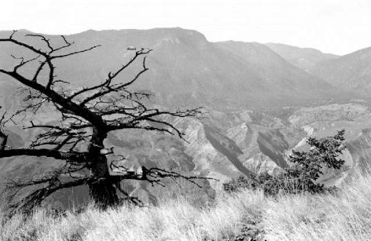
 Bridge River Canyon |
|
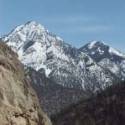
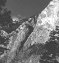
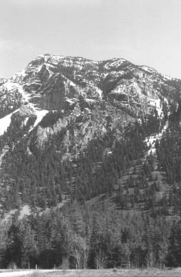
& Mountain Ranges |
 Bridge River Power Project |
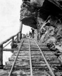
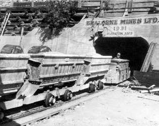 Bridge River Goldfields |
|
 Nkoomptch (Seton-Cayoosh Gorge) |
 Marble Canyon |
 Moran Canyon & The Upper Fraser Canyons |
 Pavilion |
 Golden Cache Mine |
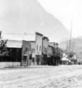
 D'arcy, Birken & Pemberton-Mt. Currie |
 goldencayoosh.ca/ The Thompson Canyon |
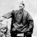
 Mountain Men & Guide-Outfitters |
| Resort & Recreation Info | Links and Stuff |
|
|
 The Pemberton Valley (the Lower Lillooet Country) |
 Fountain Ridge |
 Horses of the Bridge River-Lillooet & Chilcotin |
|
|
|
|
||
| Comprehensive
Site Index of goldencayoosh.ca/
The reason for this index is that many of the picture-links above lead to further subindex pages on certain topics and regions and many of these cross-linked. The comprehensive index lists all pages and topics directly, rather than via sub-indexes, so that finding a particular page or location is a lot easier. |
|
||
|
|
|
|
|
|
|
|
|
|
Many people have written me offering their own pics from the country, so as time permits these will be added and the site expanded and rearranged somewhat, so bookmark this page only as the structure of the site may change over time. A guestbook is being added (linked below once i find a suitable app to enable it); please feel free to leave your comments for others to read, or send them to me directly via email.
For information or contributions, please contact me.

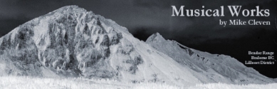
Mike Cleven - Other Interests & Creations:
|
 Acting |
|

|
|
|
| sections to come South Cariboo Travel Photography |
||