
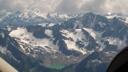
Aerial pic from Photos by Kat
"A Sea of Mountains"
Mountain Ranges of the Bridge River-Lillooet Country
The splendours of this page
would not have been possible without permission to reproduce here a
selection of the extensive collection of aerial photos at Randall's Flying
Photos Page.
Nearly all colour photos here are Photos by Kat
(who flies with Randall), although some are my own as are most of the
black-and-whites except a few credited from the BC Archives collection and
certain other sources. The phrase used in the title of this
page is from one of the earliest colonial-era officials, whose
description of the new Mainland Colony was made after a tour through the Bridge River-Lillooet Country en route to the
Cariboo....I think he might have been up high somewhere, to get a view
like the one above, or like countless others in the region, some of
which are featured in this section of the Bridge
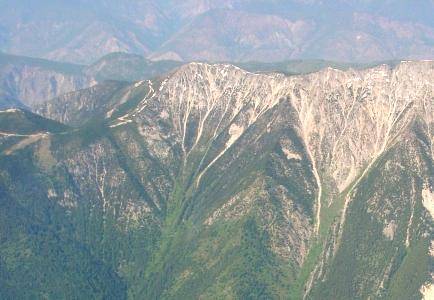
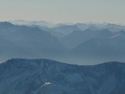
River-Lillooet Country Web Archive.The diversity of terrain represented by the complex of ranges which frame the Bridge River-Lillooet Country and adjoining districts cannot be summed up in words. Each range has its own special characteristics of topography and climate and biogeography, and each has a unique look. Certain peaks stand out for their prominence within the area, or in some cases have actual legends and tales of adventure associated with them. As time permits I will try and fill out such background details and hope to be able to add other photos to the collection as they may be found. For now I am very happy to invite you to enjoy a virtual tour of the high country of the Lillooet Country and the Bridge River Basin.
A directory of ranges and peaks-by-name follows; in time I hope to have interactive maps which will more fully help navigate this site and give a better sense of the specific locations of the many photos found linked in the visual index that follows, and of the role many of these mountains played in the rich history of the region.


